Visiting all the beaches in Swansea and Gower
- Author Benjy Stanton
- Date (updated 27 April 2026)
- Categories
A personal challenge to visit all 40 plus beaches in Swansea and Gower, with photos, tips and map links for each one.
- Beaches visited: 29 of 42 (69%) 🏖️
- Longest continuous stretch: 10 beaches 📏
- Seals spotted: 5 (at Little Broughton, Langland and Worm’s Head) 🦭
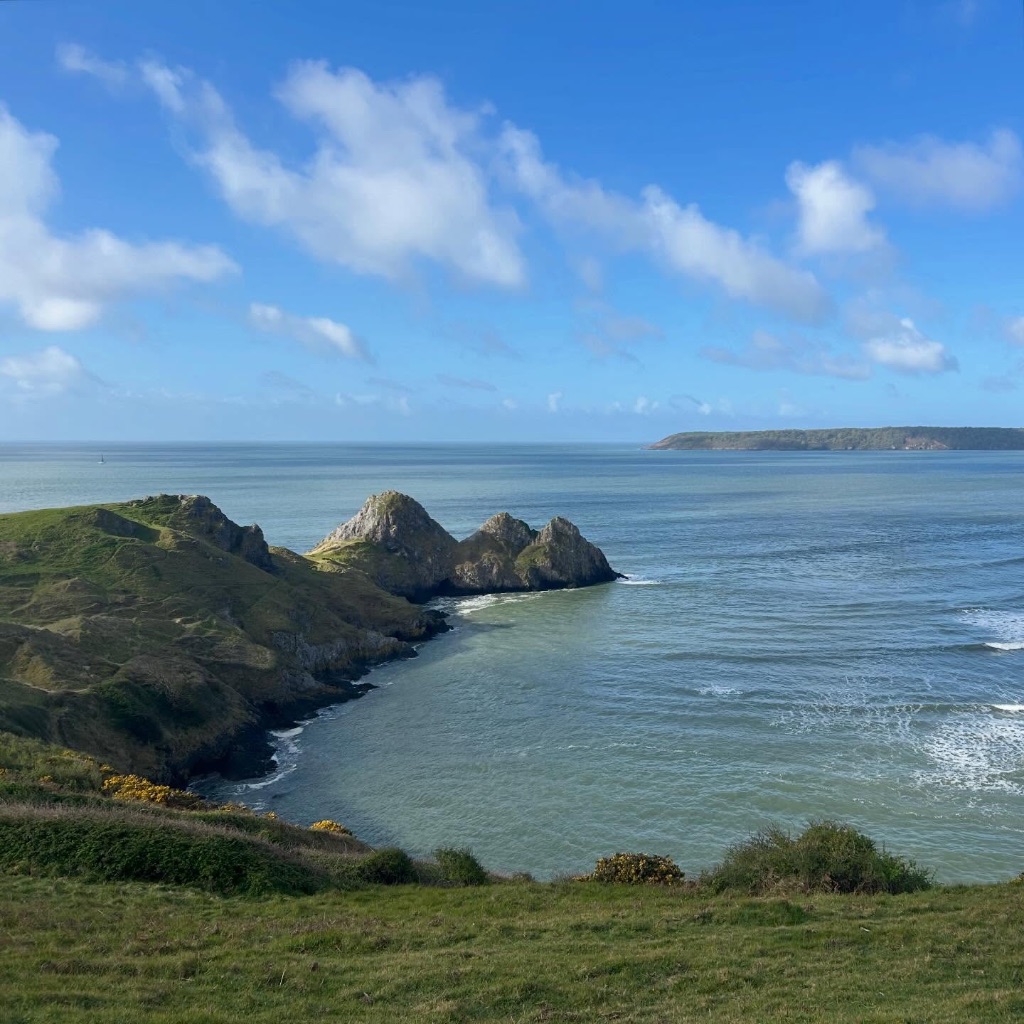
- Favourite beach: Overton Mere ⭐️
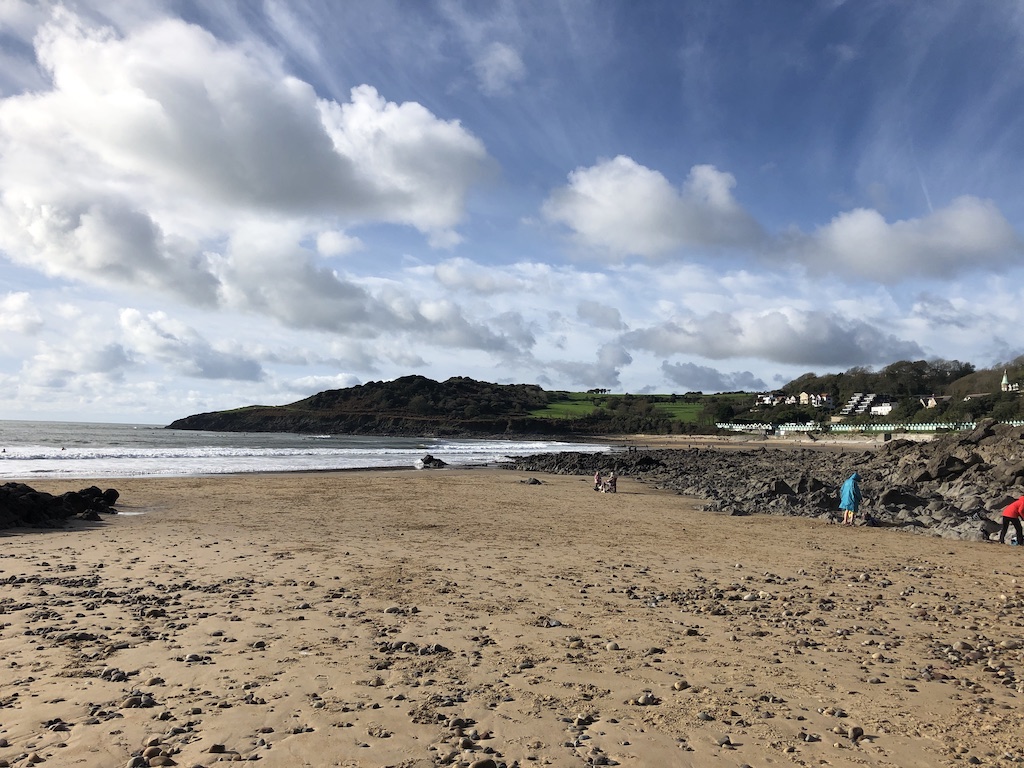
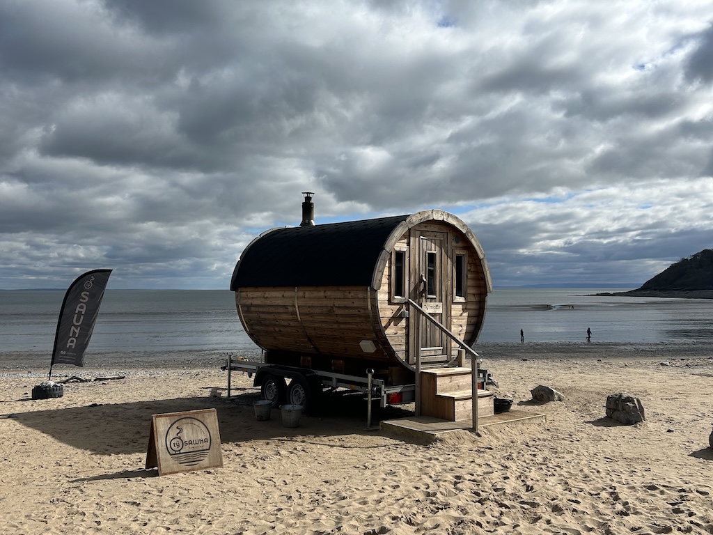
Swansea Bay
A huge beach that stretches from Swansea city centre to Mumbles. A flat, accessible cycling and walking path lines the whole way.
Location: Swansea Bay on Open Street Map
Knab Rock

The last bit of beach before the pier. Quite rocky and completely covered at high tide. Car parks and places to eat nearby.
Location: Knab Rock on Open Street Map
Mumbles Head Beach
This small beach is tucked behind the big wheel on the pier. Good spot for crabbing. Cafes, amusement arcades and fairground style attractions nearby.
Location: Mumbles Head Beach on Open Street Map
Bracelet Bay
Small beach that's just around from Mumbles point. There's a large car park, a restaurant and playground nearby.
Location: Bracelet Bay on Open Street Map
Limeslade Beach
A small rocky beach, just around from Bracelet Bay. The coastal path to Langland starts here. Fortes ice cream parlour is nearby.
Location: Limeslade Beach on Open Street Map
Rotherslade Bay
This small beach is cut off from Langland at high tide. There is a cafe at the top. Not much parking.
Location: Rotherslade Bay on Open Street Map
Langland Bay
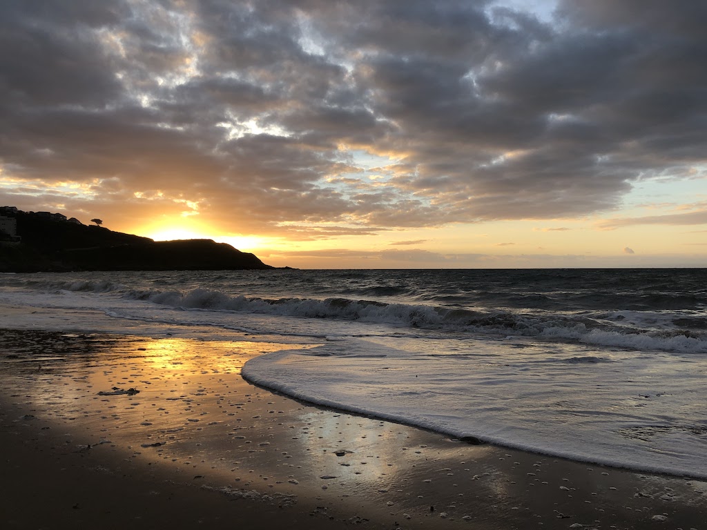
Very popular beach, lined with beach huts. Good surf. Has a cafe, restaurant, shop, tennis courts and lots of parking. Can be hard to find a space when it's busy though.
Possible to spot seals in the bay when it's quiet and on the coastal path towards Caswell.
Location: Langland Bay on Open Street Map
Caswell Bay
Another popular beach, slightly younger crowd than Langland as it's more sheltered. Good for surf lessons. Another large car park that can get very busy. Huge beach a low tide, quite small at high tide.
Location: Caswell Bay on Open Street Map
Brandy Cove
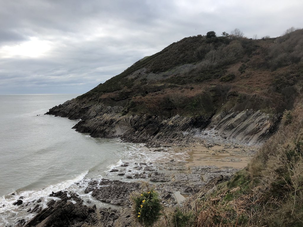
Small hidden cove. Long walk to get there from Bishopston. Can also walk around coastal path from Caswell.
Location: Brandy Cove on Open Street Map
Hunts Bay / Deep Slade

Isolated beach located at the bottom of a grassy hill. Can walk there from the National Trust car park in South Gate.
Location: Hunts Bay / Deep Slade on Open Street Map
Foxhole
Location: Foxhole on Open Street Map
Heatherslade Bay
Location: Heatherslade on Open Street Map
Pobbles Bay
Location: Pobbles on Open Street Map
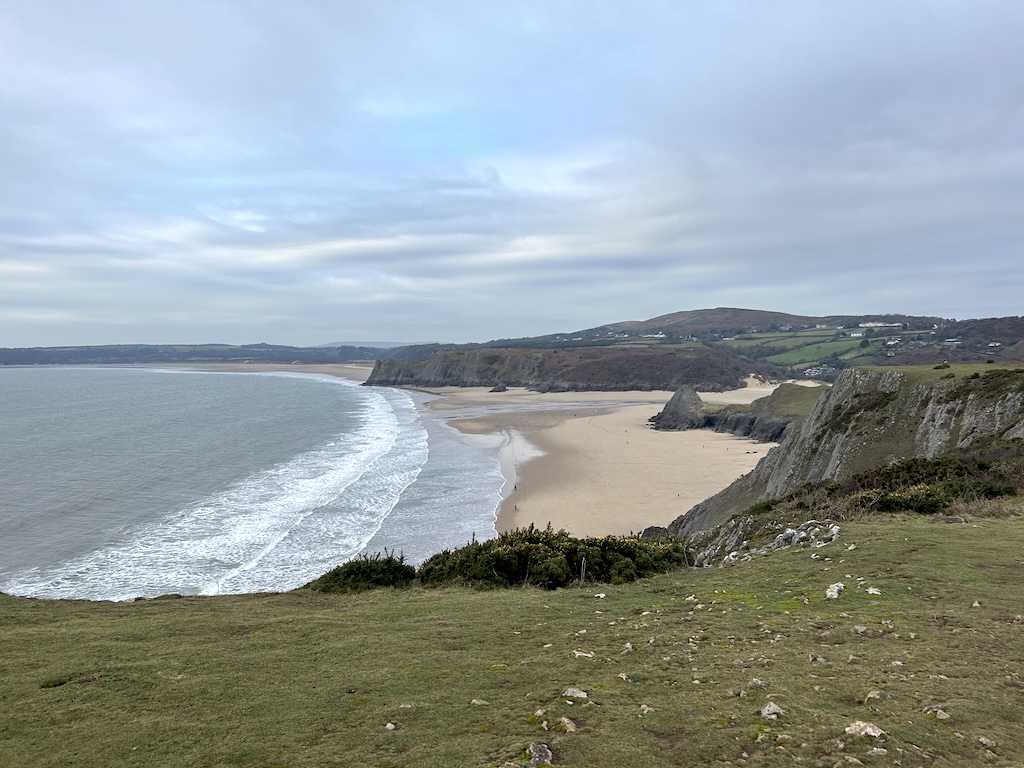
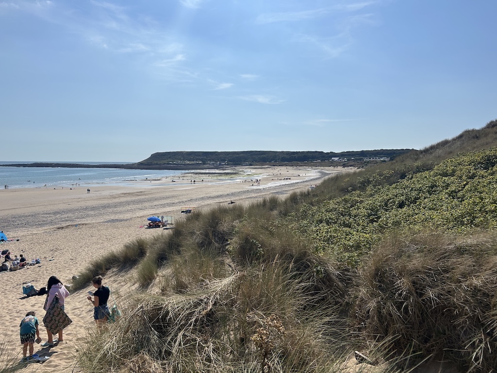
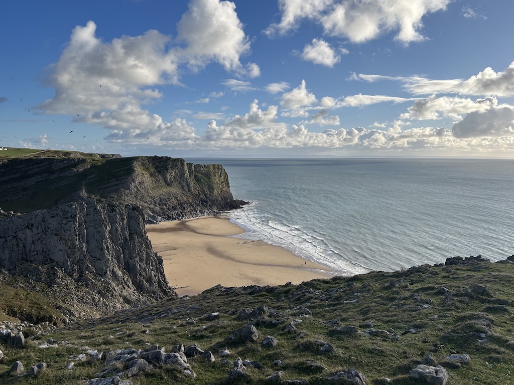
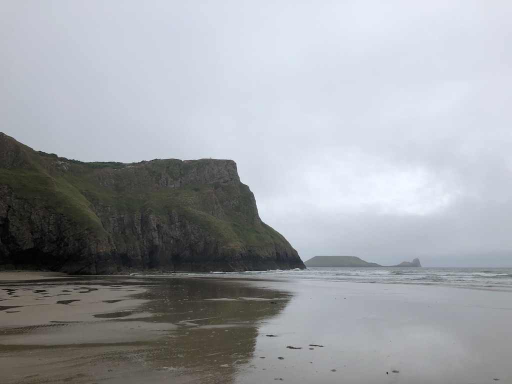
Three Cliffs Bay
A picturesque beach with a famous 3 peaked headland and castle ruins. The walk from Parkmill along the river estuary is long and sandy but worth it.
Location: Three Cliffs Bay on Open Street Map
Oxwich Bay
A huge, popular beach with a large accessible car park. Has a little cafe, hotel with beer garden, and a Michelin Star restaurant.
Location: Oxwich Bay on Open Street Map
Horton
Horton is a popular sandy beach on the east side of Port Eynon. It has a small car park with with toilets and takeaway coffee in summer months.
Location: Horton on Open Street Map
Port Eynon
A large beach with car park. Shops, cafe, campsites and pub nearby.
Location: Port Eynon on Open Street Map
Salt House Mere
Location: Salt House Mere on Open Street Map
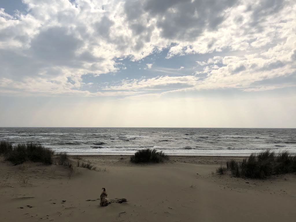
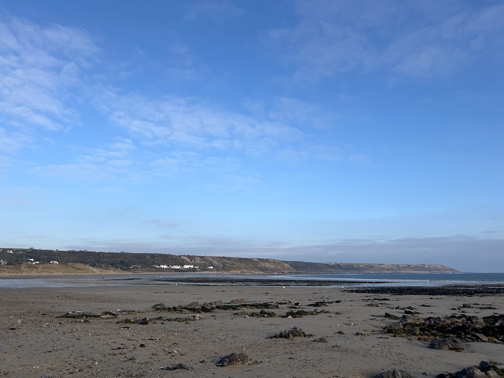
Overton Mere
Location: Overton Mere on Open Street Map
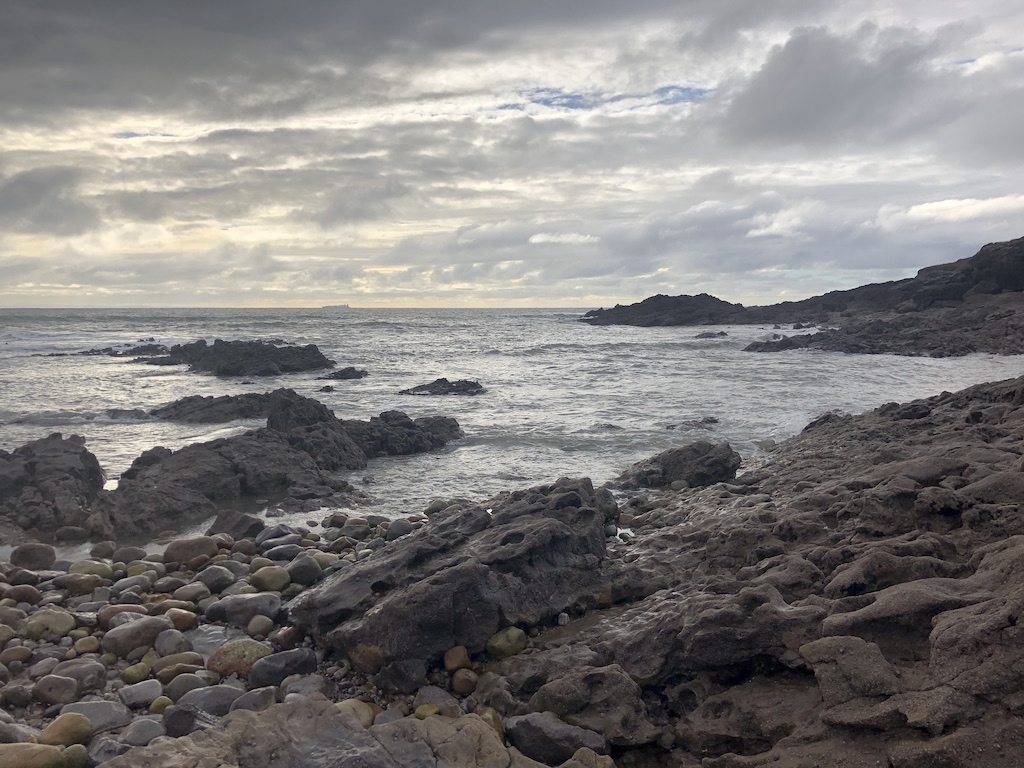
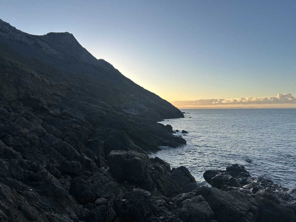
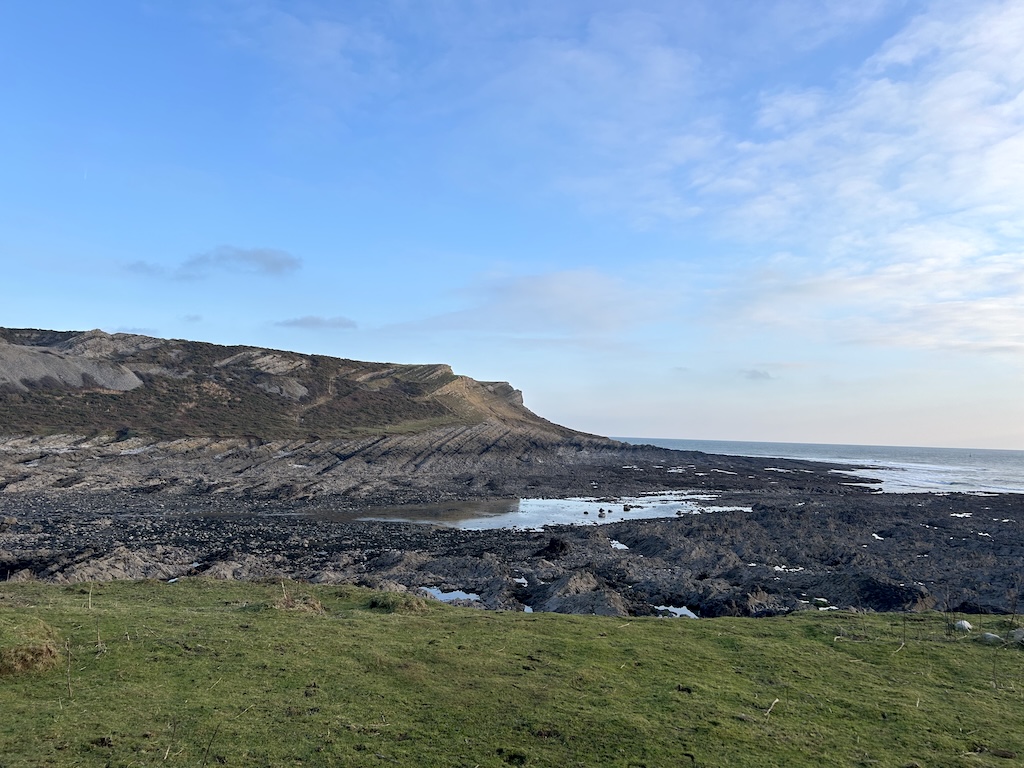
Common Cliff to Butterslade
Includes Foxhole Slade, Knave Bay and Ramsgrove. I ran along the coastal path here in October 2025. Need to go back here and take more photos.
Location: ?
Mewslade Bay
Location: Mewslade Bay on Open Street Map
Fall Bay
Location: Fall Bay on Open Street Map
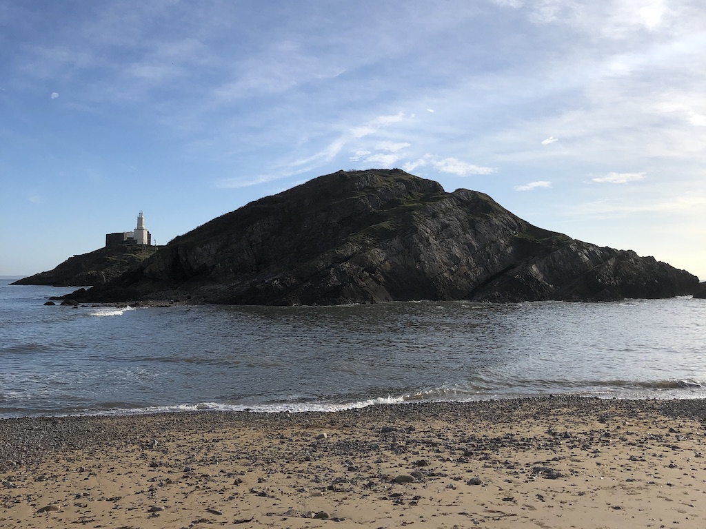
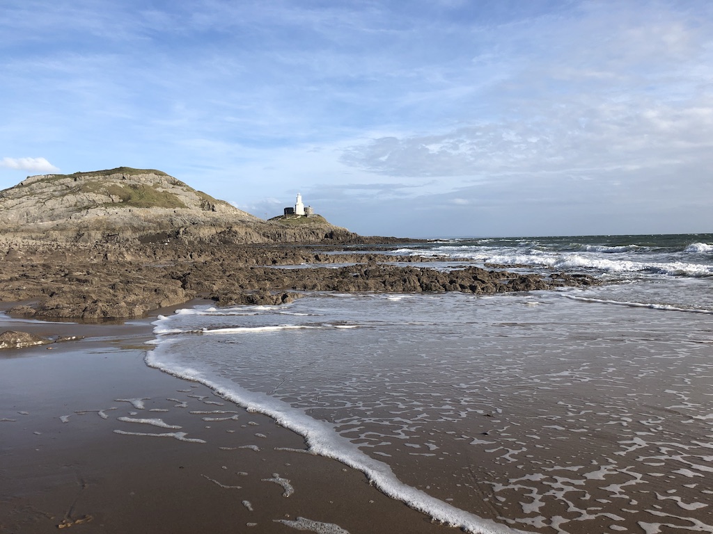
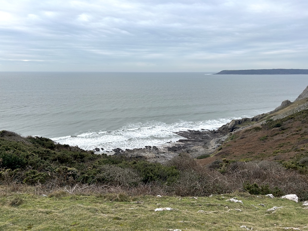
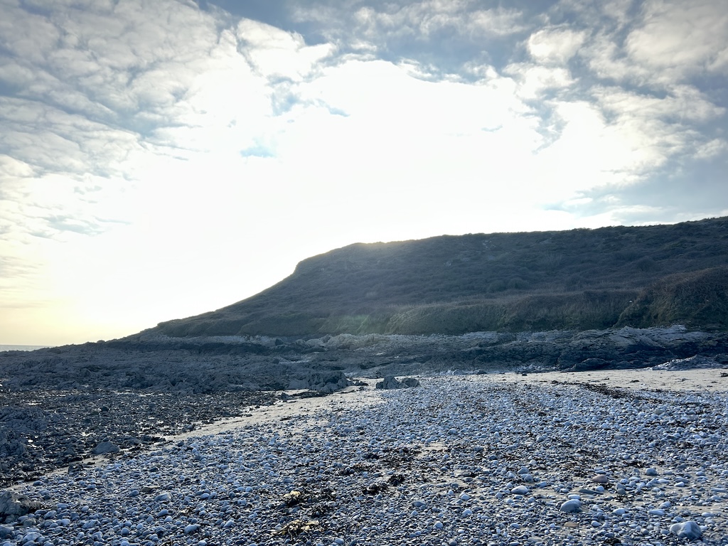
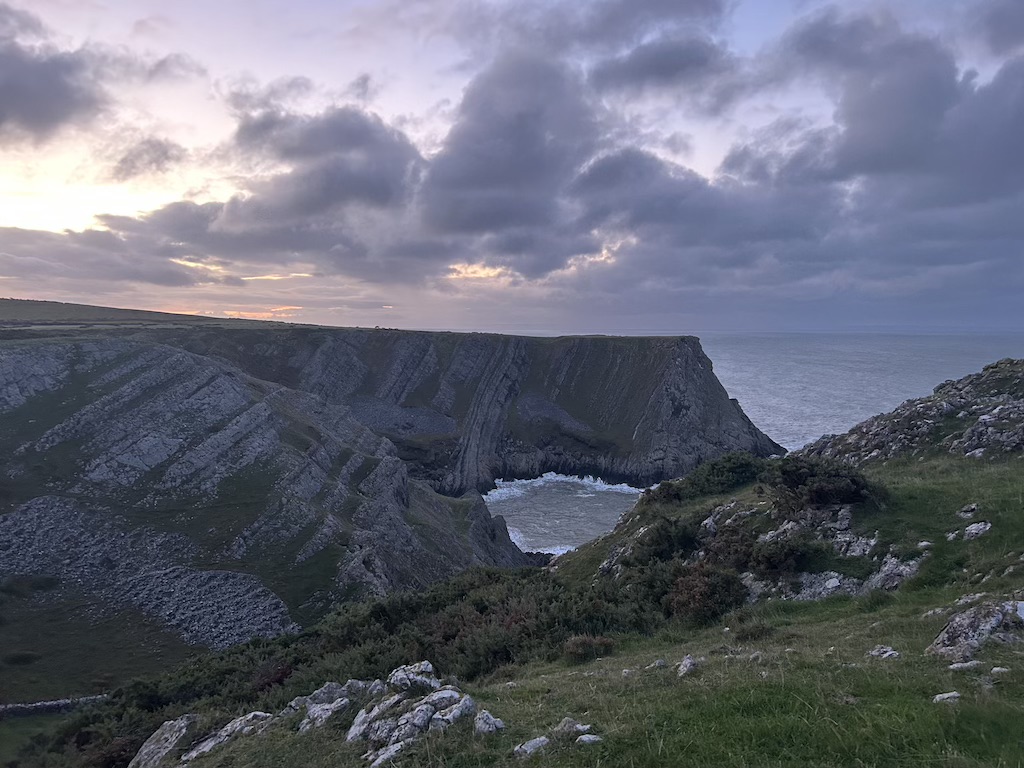
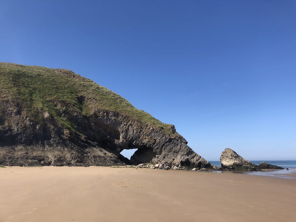
Worm’s Head
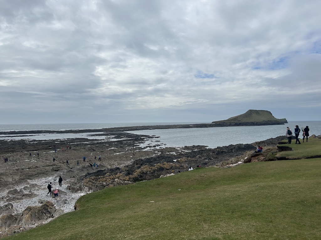
Not really a beach, but a spectacular tidal peninsula. Be careful of the tides because you can get stranded. Can spot seals on the once you've crossed the causeway.
Location: Worm’s Head on Open Street Map
Rhossili
Location: Rhossili on Open Street Map
Llangennith
Location: Llangennith on Open Street Map
Burry Holms
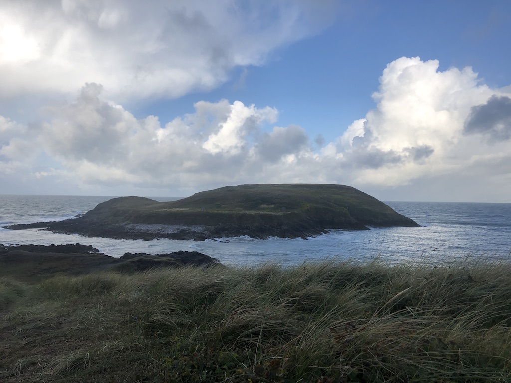
Location: Burry Holms on Open Street Map
Blue Pool Bay
Location: Blue Pool Bay on Open Street Map
Little Broughton
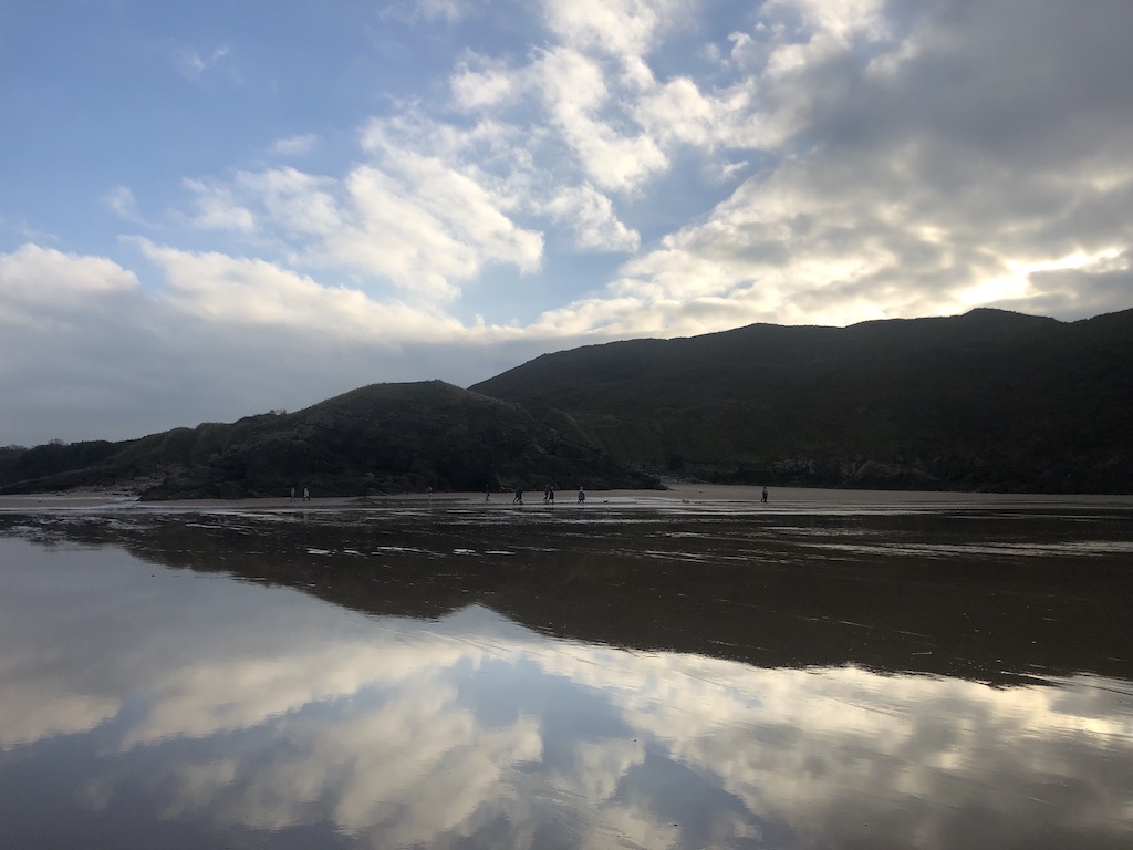
A small cove that is cut off from main Broughton beach at high tide. Small cave to explore. Can spot seals there sometimes 🦭. Accessible through Broughton caravan site or along the coastal path.
Location: Little Broughton on Open Street Map
Broughton Bay
Location: Broughton Bay on Open Street Map
Whiteford Sands
Location: Whiteford Sands on Open Street Map
Swansea and Gower beach list
A list of all the Swansea and Gower beaches I've visited so far.
- Jersey Marine Beach
- Swansea Bay ✅
- Knab Rock ✅
- Mumbles Head ✅
- Bracelet Bay ✅
- Limeslade Beach ✅
- Rotherslade Bay ✅
- Langland Bay ✅
- Caswell Bay ✅
- Brandy Cove ✅
- Pwll Du Bay
- Bantam Bay
- Hunts Bay / Deep Slade ✅
- Foxhole ✅
- Heatherslade Bay ✅
- Pobbles Bay ✅
- Three Cliffs Bay ✅
- Tor Bay
- Nicholaston / Crawley Beach
- Oxwich Bay ✅
- Slade Sands
- Horton ✅
- Port Eynon ✅
- Salt House Mere ✅
- Overton Mere ✅
- Common Cliff
- Foxhole Slade
- Knave Bay
- Ramsgrove
- Butterslade
- Mewslade Bay ✅
- Fall Bay ✅
- Worm’s Head ✅
- Rhossili ✅
- Llangennith ✅
- Burry Holms ✅
- Blue Pool Bay ✅
- Little Broughton ✅
- Broughton Bay ✅
- Whiteford Sands ✅
- Whiteford Point
- Llanrhidian Sands